GISFaces 2.0 Preview II
GISFaces 2.0 is close to being released. There have been many changes over the past few weeks including supported layer types, Java object model additions, graphics layer editing, and refactored example maps.
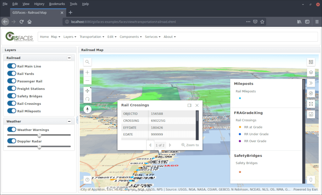
All of the ESRI layer types are now supported. These include Bing, CSV, Feature, GeoJSON, GeoRSS, Graphics, Imagery, Integrated Mesh, KML, Map Image, Point Cloud, ArcGIS Portal, Scene, Stream, Tile, Vector Tile, WMS, and WMTS. Regardless of the source of your data, GISFaces can map it.
The live Examples snapshot application has been refactored to use PrimeFaces and PrimeFaces Extensions 7.0. The Facelets template has been updated to use the PrimeFaces Extensions layout component.
Be sure to take a look at the GISFaces GitHub Page.
Please contact us if you have any feedback or suggestions.